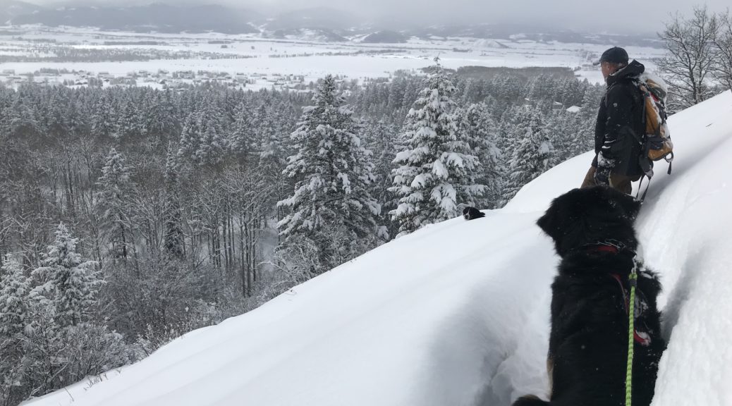
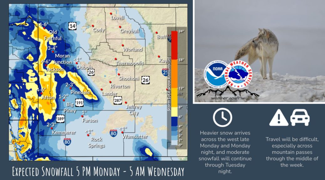
Final Snow Report for Western and Central Wyoming
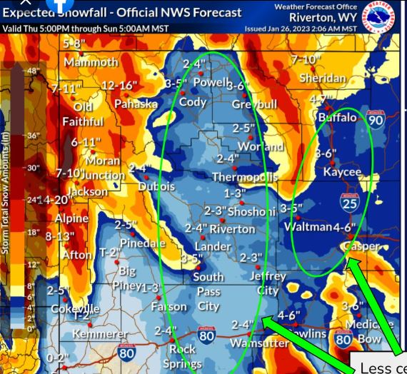
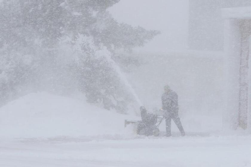
National Weather Service Riverton WY 228 PM MST Mon Jan 30 2023 A significant winter storm impacted much of Wyoming over the weekend. Significant snowfall and gusty winds caused many travel impacts across the region. In terms of snowfall, the western WY mountains got the worst of the storm, with some locations receiving over 3 feet of snowfall over the duration of the event. Below is the final summary of all snowfall reports from this event from across Western and…