Pattern Change Again, Still No Big Snows in Sight for Star Valley
Weak disturbances tracking southeastward across Star Valley have produced periods of light snow the past couple of days. Reported snow totals throughout the valley have generally been from 1 to no more than 2 inches. Snow depth range from a reported 2 feet at the Alpine and Star Valley Ranch locations to close to 3 feet south of Smoot.
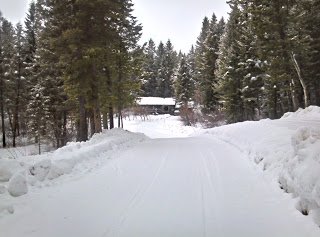
A photo taken this morning in Star Valley Ranch is typical of many areas in the valley

In other parts of the country this sight could result in anxiety and travel concerns, for Star Valley residents it is just another winter day. However, in other regions of the World what we have to deal with in Star Valley, even during a snowy winter, is small potatoes. In particular the Japanese Alps on Honshu Island, one of the snowiest locations on earth, experience amazing snowfalls.
Here are a couple photos from this region.


A very interesting blog is available discussing the snowier parts of the globe:
http://www.wunderground.com/blog/weatherhistorian/article.html?entrynum=60
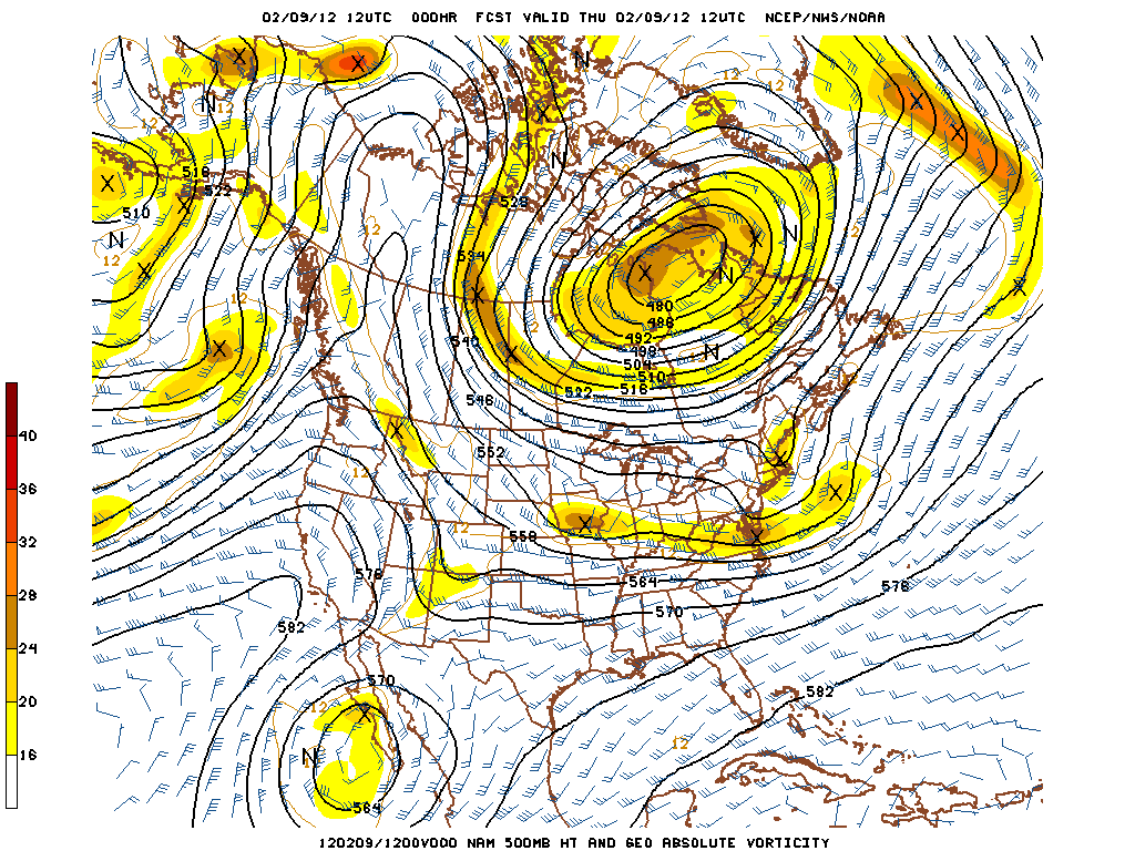
Looking ahead the current pattern with a high pressure ridge to the west of Star Valley
 |
||
| 500 mb analysis Thursday Morning 2/9/12 |
is forecast to once again readjust toward a split flow pattern, directing storms systems both to the north and south.
By Tuesday of next week this split flow will be in place
 |
||
| 500 mb forecast Tuesday 2/14/12 |
with the storm track across the Southwestern States and in western Canada.
While this does not favor a dry weather regime for Star Valley, any snow that falls will be generally light, similar to what has occurred recently. An interesting way to look at what the models are forecasting is through a meteogram over the next week or so. This one is for Jackson Wyo
 |
||
| Meteogram Jackson WY Feb 9-17 2012 |