Preliminary Snowfall Reports for Sunday Night and Monday
 |
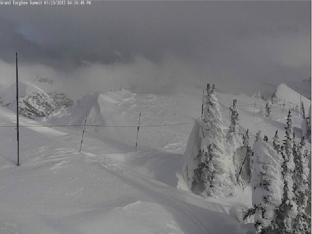
| Grand Targhee January 23 2017 |
Public Information Statement National Weather Service Riverton WY 0455 PM MST Mon Jan 23 2017 ...Preliminary Snowfall Reports for Sunday Night and Monday... Below is a collection of snowfall reports through midday Monday. Several snowfall reports below are only through about 7 or 8 AM Monday. Snotel sites are through around 3 PM. So far it appears central and southern Lincoln County was hardest hit from this winter storm. Note: SnoTELS (Snow Telemetry) are remote sensing sites in high mountain watersheds. Snowfall data from SNOTELS are estimated based on snow water equivalent. Location SnowfallLincoln County... Hams Fork Snotel... 10 inches. Cokeville... 9 inches. Spring Creek Divide Snotel... 8 inches. snow depth 81 inches Indian Creek Snotel... 8 inches. snow depth 80 inches Kelley Ranger Station Snotel... 7 inches. snow depth 62 inches Box Y Ranch... 7 inches. Star Valley Ranch... 6.5 inches. snow depth 36 inches Star Valley Ranch... 6 inches. Blind Bull Summit Snotel... 6 inches. snow depth 72 inches Salt River Summit Snotel... 6 inches. snow depth 49 inches 2 SE Thayne... 5.2 inches. snow depth 32 inches Diamondville... 5 inches. Commissary Ridge... 5 inches. Willow Creek Snotel... 5 inches. snow depth 72 inches Cottonwood Creek Snotel... 5 inches. snow depth 65 inches 2 NW Afton... 4 inches. Afton... 3 inches. 5 SSE Smoot... 3 inches. snow depth 36 inches Blind Bull Summit... 2 inches.Fremont County...
Deer Park Snotel... 4 inches.
South Pass Snotel... 4 inches.
Atlantic City... 2 inches.
Townsend Creek Snotel... 2 inches.
Burroughs Creek Snotel... 1 inch.
Cold Springs Snotel... 1 inch.
Hobbs Park Snotel... 1 inch.
Little Warm Snotel... 1 inch.
Brooks Lake... 1 inch.Hot Springs County...
Owl Creek Snotel... 1 inch.Johnson County...
Buffalo... 0.2 inches.Natrona County...
Casper Mountain Snotel... 2 inches.
Casper Airport... 0.3 inches.
4 WSW Casper... 0.2 inches.Park County...
Blackwater Snotel... 1 inch.Sublette County...
Triple Peak Snotel... 8 inches. snow depth 79 inches
Snider Basin Snotel... 8 inches.
Larsen Creek Snotel... 8 inches.
Big Sandy Opening Snotel... 8 inches.
Loomis Park Snotel... 5 inches.
East Rim Divide Snotel... 5 inches.
13 NE Big Piney... 4 inches.
Daniel Fish Hatchery... 4 inches.
Pinedale... 3 inches.
Kendall Ranger Station Snotel... 3 inches. snow depth 50 inches
New Fork Lake Snotel... 3 inches. snow depth 49 inches
Elkhart Park G.S. Snotel... 3 inches.
Boulder Rearing Station... 2 inches.
Gunsite Pass Snotel... 1 inch. snow depth 42 inchesSweetwater County...
Green River... 0.5 to 1 inch.
4 NNW Rock Springs... 0.9 inches.
Rock Springs... 0.5 inches.Teton County...
Jackson Hole - Rendezvous Bowl... 8 inches.
Phillips Bench Snotel... 7 inches.
Jackson Hole - Raymer... 6.5 inches.
Granite Creek Snotel... 6 inches.
Jackson Hole - Mid Mountain... 5 inches.
Grand Targhee - Chief Joseph... 4 inches.
5 NW Jackson... 3.5 inches.
2 NE Teton Village... 3 inches.
Togwotee Pass Snotel... 3 inches. snow depth 63 inches
Grassy Lake Snotel... 3 inches. snow depth 85 inches
Grand Targhee Snotel... 3 inches.
Jackson Hole - Base... 2 inches.
Moose... 1.8 inches.
1 NNW Alta... 1 inch.
Base Camp Snotel... 1 inch.
Gros Ventre Summit Snotel... 1 inch. snow depth 43 inches
Togwotee Mountain Lodge... 1 inch.
Snake River Stn Snotel... 1 inch. snow depth 55 inches
Snow King... 1 inch.
Jackson... 0.8 inches.
12 NE Jackson... 0.5 inches.Washakie County...
16 SSE Ten Sleep... 0.8 inches.
Ten Sleep... 0.1 inches.Yellowstone National Park...
Lewis Lake Divide Snotel... 3 inches. snow depth 78 inches
Snake River Ranger Station... 1 inch.
Canyon Snotel... 1 inch.
Parker Peak Snotel... 1 inch.