 |
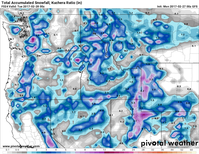
| Model Forecast Snow Totals through Monday Afternoon |
Special Weather Statement
National Weather Service Riverton WY
708 PM MST Sun Feb 26 2017

WYZ012-013-023-024-027-271500-
Teton and Gros Ventre Mountains-Jackson Hole-Star Valley-
Salt River and Wyoming Ranges-South Lincoln County-
Including the cities of Jackson, Afton, Alpine,
Star Valley Ranch, Thayne, Kemmerer, and Cokeville
708 PM MST Sun Feb 26 2017

...Increasing Snow Across Western Wyoming Tonight; Expect Slick
Roads and Limited Visibility Monday Morning...

Snow will increase across the Jackson and Star Valleys and
surrounding mountains ahead of an approaching cold front. Snowfall
will be most widespread, with locally moderate to heavy snowfall,
from the predawn hours Monday morning through early Monday
afternoon. Snow will decrease behind the cold frontal passage mid
to late Monday afternoon. Total snowfall will range from 1 to 4
inches across the Jackson and Star Valleys, with locally higher
amounts from Thayne to Alpine. The mountains will receive 3 to 6
inches of new snowfall with higher amounts of 6 to 9 inches in
some areas above 9000 feet.

Morning commuters should allow extra time to reach their
destination Monday morning, especially if travelling over
mountain passes.

