National Weather Service Riverton WY
245 PM MST Tue Jan 22 2019
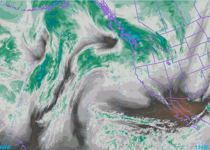
..Another significant snow event is anticipated for Far Western
Wyoming...
.A weather system diving down from the northwest will provide
another period of significant snowfall accumulation to Western
Wyoming tonight through Wednesday night.
Star Valley-Salt River and Wyoming Ranges-
Including the cities of Afton, Alpine, Star Valley Ranch,
and Thayne
245 PM MST Tue Jan 22 2019
...WINTER WEATHER ADVISORY IN EFFECT FROM 11 PM THIS EVENING TO
11 PM MST WEDNESDAY...
 * WHAT...Snow expected. Total snow accumulations will range from 4
inches in Afton to 8 inches in Alpine. Six to twelve inches
will fall over the Salt and Wyoming Ranges. Winds gusting as
high as 50 mph along the higher ridges.
* WHERE...Star Valley and Salt River and Wyoming Ranges.
* WHEN...From 11 PM this evening to 11 PM MST Wednesday.
* ADDITIONAL DETAILS...Travel could be very difficult. Areas of
blowing snow could significantly reduce visibility, including
travel along Salt River Pass. The hazardous conditions could
impact the morning or evening commute. Gusty winds could bring
down tree branches.
PRECAUTIONARY/PREPAREDNESS ACTIONS...
A Winter Weather Advisory for snow means periods of snow will
cause primarily travel difficulties. Expect snow covered roads
and limited visibilities, and use caution while driving.
The latest road conditions for the state you are calling from can
be obtained by calling 5 1 1.
* WHAT...Snow expected. Total snow accumulations will range from 4
inches in Afton to 8 inches in Alpine. Six to twelve inches
will fall over the Salt and Wyoming Ranges. Winds gusting as
high as 50 mph along the higher ridges.
* WHERE...Star Valley and Salt River and Wyoming Ranges.
* WHEN...From 11 PM this evening to 11 PM MST Wednesday.
* ADDITIONAL DETAILS...Travel could be very difficult. Areas of
blowing snow could significantly reduce visibility, including
travel along Salt River Pass. The hazardous conditions could
impact the morning or evening commute. Gusty winds could bring
down tree branches.
PRECAUTIONARY/PREPAREDNESS ACTIONS...
A Winter Weather Advisory for snow means periods of snow will
cause primarily travel difficulties. Expect snow covered roads
and limited visibilities, and use caution while driving.
The latest road conditions for the state you are calling from can
be obtained by calling 5 1 1.