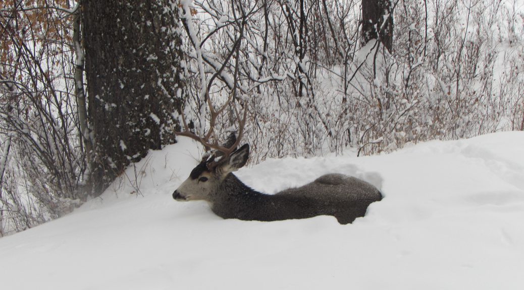
Final Weekend Snowfall Reports
The snowy January of 2020 continues. Star Valley Ranch has measured 47 inches so far this month while the Alpine station located at the Bull Moose has had 48.5 inches. The southern end of the valley south of Smoot has totaled 32 inches. At Bedford 3SE total is 38.5 while Afton just has had 20 inches. With almost 3 weeks remaining in the month and the pattern maintaining a snow threat for the foreseeable future, the monthly snowfall records could fall, which is 70 inches at Bedford 3SE back in January of 1976.
Following is the listing of the current weekend snowfall amounts
Public Information Statement
National Weather Service Riverton WY
0431 PM MDT Sun Jan 12 2020


...Final Snowfall Reports from Friday night through late Saturday
night...

Notes:   Location of reports are referenced from city center.
Snowfall reports from SNOTEL (Snow Telemetry) sites are estimated
and based on snow water equivalent.

...SNOWFALL REPORTS...

Location                     Amount    Time/Date       Elevation
(ft.)

...Wyoming...

...Fremont County...
Lander 7WNW                  0.1 in    0700 AM 01/12   6042

...Lincoln County...
Alpine                       13.0 in   1000 AM 01/12   5630
Bedford 3SE                  10.0 in   0700 AM 01/12   6345
Thayne  5NNE                 9.0 in    0700 AM 01/12   6377
Thayne 2SE                   7.0 in    0700 AM 01/12   6086
Smoot 5 SSE                  6.0 in    0700 AM 01/12   7005
Afton                        1.3 in    0800 AM 01/12   6248

...Park County...
East Entrance - YNP          4.0 in    0800 AM 01/12   6954
Lamar Ranger Station - YNP   1.7 in    0800 AM 01/12   6575

...Sublette County...
Daniel                       1.0 in    0800 AM 01/12   7341
Pinedale 1 NNW               0.6 in    0800 AM 01/12   7213

...Sweetwater County...
Green River                  0.3 in    0700 AM 01/12   6160
Rock Springs 7 SE            0.2 in    0800 AM 01/12   6750

...Teton County...
Wilson 3 SSW                 11.0 in   0800 AM 01/12   7010
Teton Village 2 NE           6.3 in    0800 AM 01/12   6339
Jackson                      3.6 in    0900 AM 01/12   6210

Observations are collected from a variety of sources with varying
equipment and exposures. We thank all volunteer weather observers
for their dedication. Not all data listed are considered official.


Location                              Snowfall

Fremont County...
 Brooks Lake...                       5 inches.

Lincoln County...
 Box Y Ranch...                    11.1 inches.
 Spring Creek Divide Snotel...        7 inches.
 Willow Creek Snotel...               7 inches.
 Blind Bull Summit Snotel...          7 inches.
 Kelley Ranger Station Snotel...      6 inches.
 Cottonwood Creek Snotel...           6 inches.
 Blind Bull Summit...                 5 inches.
 Indian Creek Snotel...               4 inches.
 Commissary Ridge...                3.1 inches.
 Hams Fork Snotel...                  3 inches.
 Salt River Summit Snotel...          3 inches.

Sublette County...
 Triple Peak Snotel...                6 inches.
 Snider Basin Snotel...               4 inches.
 East Rim Divide Snotel...            3 inches.
 Kendall Ranger Station Snotel...     3 inches.
 Elkhart Park G.S. Snotel...          3 inches.
 Loomis Park Snotel...                3 inches.
 Larsen Creek Snotel...               2 inches.
 Big Sandy Opening Snotel...          2 inches.
 Gunsite Pass Snotel...               2 inches.
 New Fork Lake Snotel...              1 inch.

Teton County...
 Grand Targhee - Chief Joseph...     22 inches.
 Jackson Hole - Raymer...            22 inches.
 Jackson Hole - Rendezvous Bowl...   21 inches.
 Snow King...                        19 inches.
 Togwotee Mountain Lodge...          17 inches.
 Jackson Hole - Mid Mountain...      15 inches.
 Grassy Lake Snotel...               14 inches.
 Grand Targhee Snotel...             13 inches.
 Jackson Hole - Base...               8 inches.
 Phillips Bench Snotel...             7 inches.
 Snake River Stn Snotel...            6 inches.
 Togwotee Pass Snotel...              6 inches.
 Base Camp Snotel...                  5 inches.
 Granite Creek Snotel...              4 inches.
 Gros Ventre Summit Snotel...         3 inches.

Washakie County...

Yellowstone National Park...
 Lewis Lake Divide Snotel...         10 inches.
 Sylvan Lake Snotel...                6 inches.
 Two Ocean Plateau Snotel...          4 inches.
 Sylvan Road Snotel...                4 inches.
 Canyon Snotel...                     4 inches.
 Parker Peak Snotel...                4 inches.
 Thumb Divide Snotel...               1 inch.