Eclipse Cloud Forecast Day1
It is just 24 hours prior to the passing of the Eclipse across Southern Idaho and Wyoming. It now seems assured that the path of the Eclipse will be only marginally affected by high clouds as a weak upper trough moves across and mainly north of Wyoming.
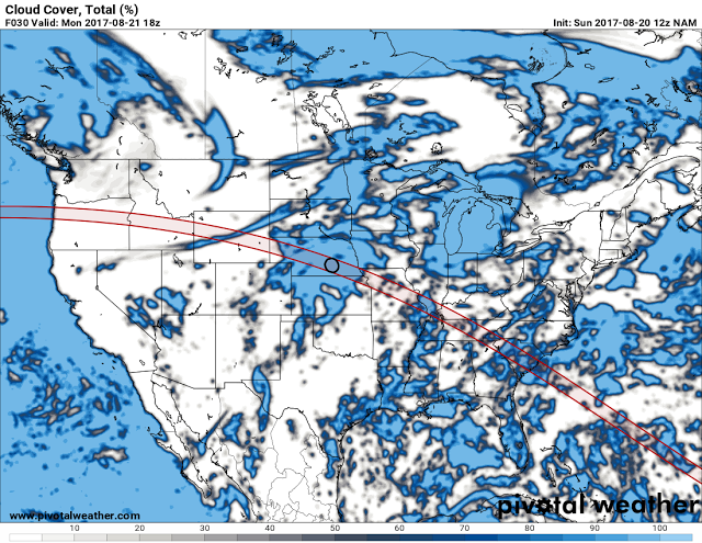
The latest cloud forecast from the NGM model shows as has been the case for the past couple of days a rather thin band of high cloudiness translating southeast across southeast Idaho and Wyoming during the morning, mostly just prior to the eclipse.
 |
| NAM model of the percentage of forecast cloud cover at noon Monday August 21 2017. |
The 300 MB(30,000ft MSL) forecast for noon shows the very weak upper trough passing across the area with the mostly high band of clouds moving with it.
 |
| NAM 300 MB forecast for noon Monday August 21 2017 |
Examining the forecast model sounding for around Star Valley at noon Monday, indicates a continued very dry air mass, marginally supportive of upper level clouds.
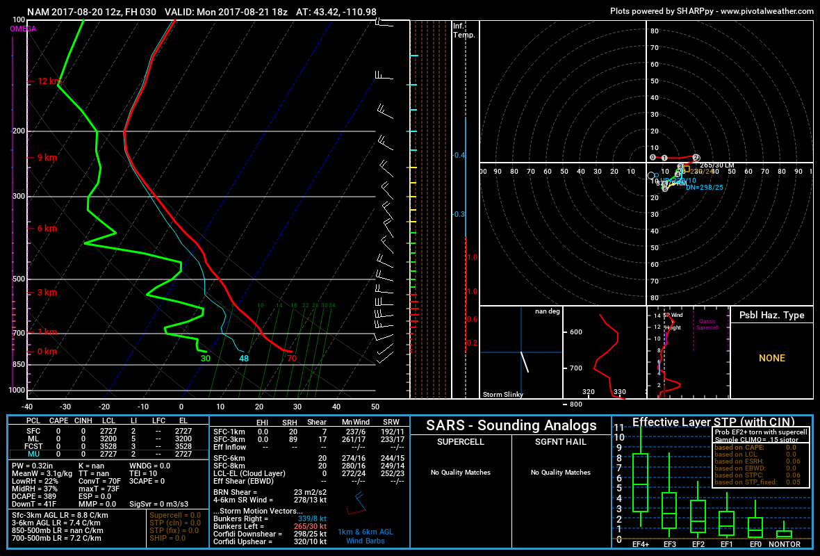 |
| Vertical forecast sounding vicinity Star Valley noon August 21 2017(green dewpoint, red temperature) |
The only other issue may be some smoke from remaining fire activity across the mountains of Idaho, however this should be lessened from a week ago as most of the fires have been diminished by showers and fire fighting efforts.