Winter Storm Slams Wyoming
The cold front moved across Star Valley late this afternoon dropping temperatures quickly into the 20s on their way down to a very cold weekend. Snow as of this evening is increasing, and will continue into Friday. Riverton Forecast Office has provided a comprehensive summary of expected conditions for the next couple of days.
Summary | Forecast | Monitoring & Reporting Snowfall | Safety
Snowfall will begin across western Wyoming this evening, and
intensify through the night. Snowfall will begin to spread east of the
Continental Divide during the overnight hours, and become widespread by
Friday afternoon. Snowfall accumulations will be significant at some
locations. Check back to this news story for updated snowfall totals
during the event.
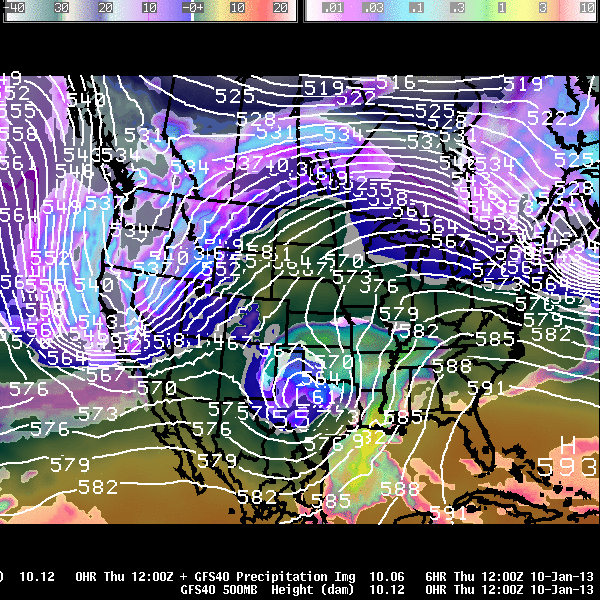
An area of low pressure will sweep through the intermountain west
this evening, introducing snowfall across the western mountains and
valleys. The area of low pressure will move over southern Wyoming
tonight, and move east through the day on Friday. The scenario will mean
widespread snowfall, with snowfall spilling east of the Continental
Divide overnight. As the system progresses eastward, snowfall will
spread across the remainder of the area, and continue through Friday
night. Below is an animated graphic showing the proposed path of the
developing area of low pressure.

to this upcoming system. The first is an increased pressure gradient
which may bring periods of gusty wind across favored locations. This may
result in blowing and drifting snowfall and hazardous travel.
Additionally, the lop shows that another slug of colder air moving
across the state. Colder temperatures associated with this airmass are
expected to linger for a few days after the system has moved east of the
state.
snowfall will we get? Click the graphics below for more detailed
information:
 |
|
|
Current Watches, Warnings, and Advisories across central and western Wyoming
|
Anticipated Snowfall Across Central and Western Wyoming
|

 |
Monitor our Severe Weather Summary Page for current Warnings, Watches, and Advisories. What’s the difference? |
 |
Check the latest Weather Story graphic for an overview of the area forecast. |
 |
Check out what’s on the radar. Riverton | Pocatello | Cheyenne | Billings | Salt Lake City | Rapid City | Mosaic |
| Submit storm reports/images and keep up to date with us on Facebook! | |
 |
Follow us and submit storm reports on Twitter! Please use the optional hashtags #wywx or #wxreport when tweeting snowfall amounts. |
 |
Other reporting methods include eSpotter, email ([email protected]), or by phone at 1-800-211-1448. |
 |
Check the latest Public Information Statement for the latest storm reports. |
| Monitor current road conditions by visiting the Wyoming Dept. of Transportation (WYDOT) or by calling 5-1-1. |
