
Strong, Potentially Damaging WInds Across Western Wyoming Today
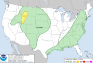
A strong spring cold front will impact Star Valley and surrounding regions today. To highlight the concern, the Storm Prediction Center in Norman OK has placed parts of Southeast Idaho and far west Wyoming under a Slight Risk of severe thunderstorms for later this afternoon and evening as the cold front passes.
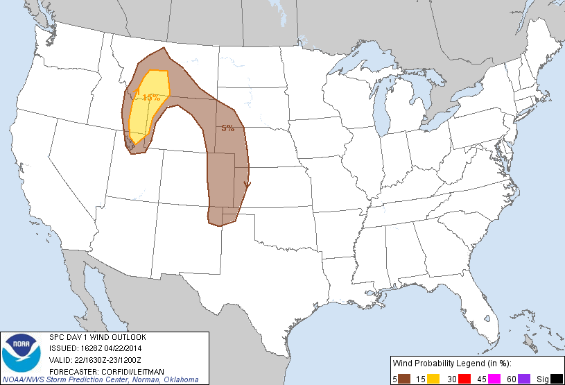
The primary concern will be the potential for damaging surface winds as thunderstorms develop along and just ahead of the cold front. The following graphic reflects this:
The morning 500 mb analysis clearly shows the deep trough of low pressure responsible for this concern moving inland from the west coast.
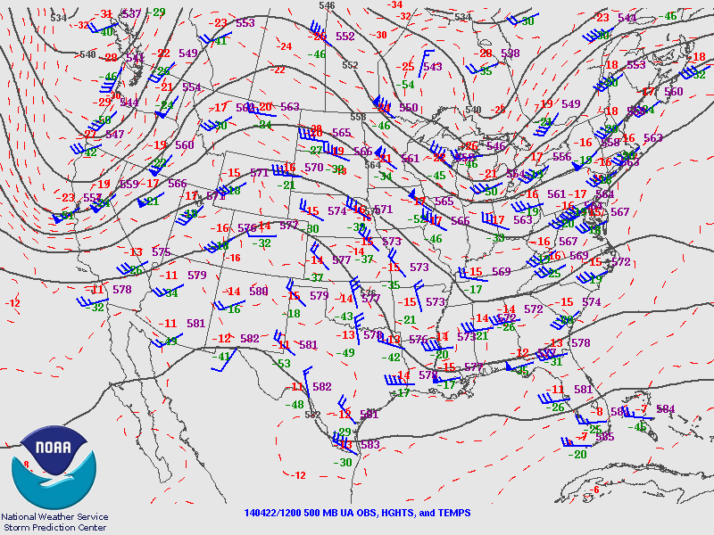 |
| 500 mb analysis 6am April 22 2014 |
The water vapor imagery indicates the greatest energy with the trough as of 9 am this morning was moving across Northern California headed for Western Wyoming by this evening.
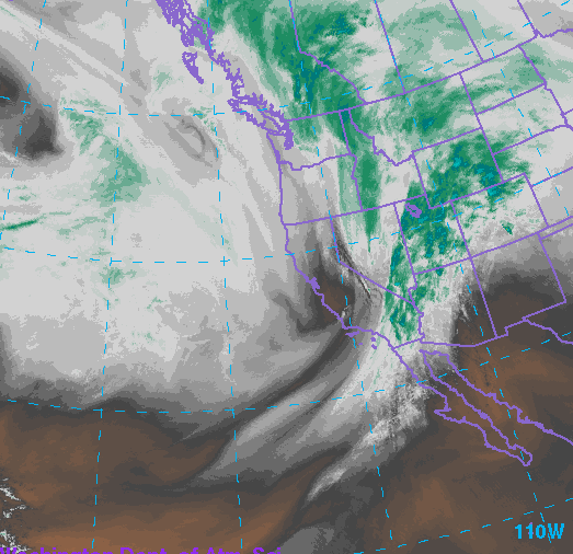 |
| Water Vapor Imagery 9am April 22 2014 |
Winds will increase through the afternoon as temperatures rise into the 60s. Thunderstorms will develop across the upper Snake River Valley by mid afternoon and move across Star Valley between 5-7pm. Wind gusts to 50-60 mph will be possible at that time along with potential for small hail and rapidly falling temperatures.
Following is a model forecast of where the the strongest winds will be occurring around 6pm.
 |
| model forecast of winds in kt at 6pm April 22 2014. |
Interesting to note that the strongest winds to near 55 kt are in southeastern Lincoln County, with much of Lincoln county southwest into the Salt Lake City region in the 40-50 kt range However the risk of thunderstorms, which will enhance the otherwise expected strong winds, will be across far west Wyoming into southeast Idaho as reflected in the Slight Risk area.
Potential for damaging winds with or without the occurrence of thunderstorms will cover a wide area of western Wyoming later this afternoon and evening
Much colder with snow levels dropping down to the valley floors will occur later this evening, however snow amounts are not now expected to be more than an inch of two. In the higher elevations, including Yellowstone NP, there is the potential for 4 or more inches as shown in the graphic below by Wednesday morning.
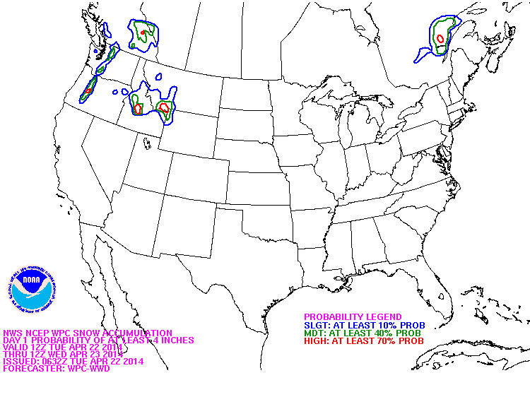 |
| Probability of 4 or more inches of snow from 6am Tuesday to 6am Wednesday April 23 2014. |