|
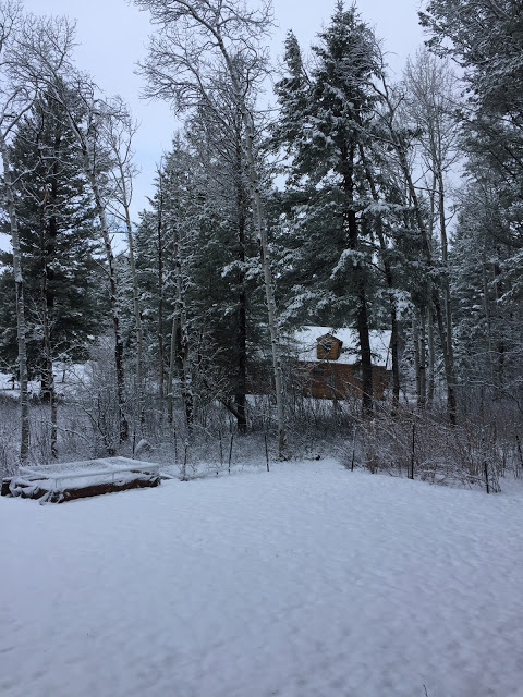
| Two inches on the ground at Star Valley Ranch this morning |
URGENT - WINTER WEATHER MESSAGE
National Weather Service Riverton WY
514 AM MDT Thu Apr 27 2017

...SIGNIFICANT SNOW OVER THE WEST ENDING THIS MORNING, BUT
SHIFTING TO NORTHERN AND CENTRAL WYOMING TODAY AND TONIGHT, AND
LASTING THROUGH FRIDAY EVENING...

.A cold spring storm will impact the Cowboy State through Friday
night with significant snowfall. The main impacts from this storm
system will shift from western Wyoming this morning, into
northern and central Wyoming later today and this evening as the
rain and snow changes to all snow, and becomes heavy at times. The
snow is gradually expected to taper off from north to south
Friday afternoon into Friday night.


Jackson Hole-Star Valley-
Including the cities of Jackson, Afton, Alpine,
Star Valley Ranch, and Thayne
514 AM MDT Thu Apr 27 2017

...WINTER WEATHER ADVISORY REMAINS IN EFFECT UNTIL NOON MDT
TODAY...

* TIMING...Periods of snow today with the heaviest snow expected
  through about 9 AM. Star Valley could still see some rain early
  this morning, but any rain should change quickly to snow this
  morning.

* TOTAL SNOW...1 to 4 inches.

* MAIN IMPACT...Highways will be mainly wet across Star Valley,
  but vary from wet to slick or slushy in spots across Jackson
  Hole especially from Moose northward. Mountain Pass will be
  slick and hazardous with very low visibility at times.
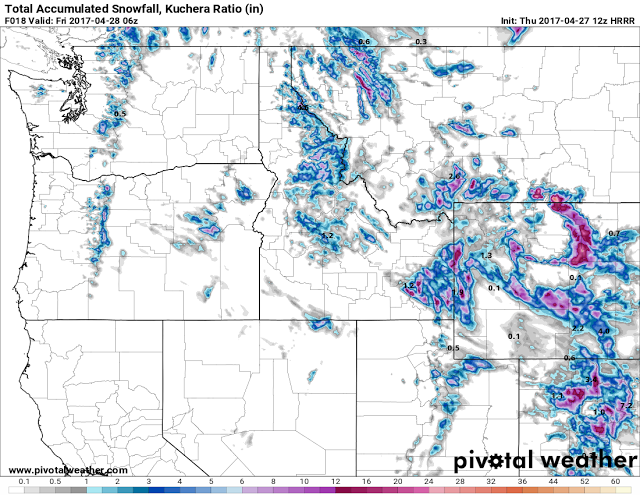 |
| Model Forecast Snowfall from 6am- midnight Thursday April 27 2017 |