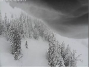
 Grand Targhee afternoon view
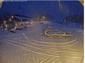 Togwotee Pass Evening View
Public Information Statement
National Weather Service Riverton WY
0926 PM MST Sun Nov 04 2018

...Preliminary Storm Information...

The following are snowfall reports from late Saturday night through
9 PM Sunday.

***** Snowfall Reports *****

Location                              Snowfall

Big Horn County...
 Bald Mountain Snotel...              4 inches.
 Bone Springs Divide Snotel...        3 inches.
 Shell Creek Snotel...                2 inches.

Fremont County...
 Burroughs Creek Snotel...            3 inches.
 Little Warm Snotel...                3 inches.
 Brooks Lake...                       1 inch.

Hot Springs County...
 Owl Creek Snotel...                  1 inch.

Johnson County...
 Bear Trap Meadow Snotel...           2 inches.
 Hansen Sawmill Snotel...             1 inch.
 Soldier Park Snotel...               1 inch.
 Cloud Peak Reservoir Snotel...       1 inch.

Lincoln County...
 Spring Creek Divide Snotel...        9 inches.
 Commissary Ridge...                  8 inches.
 Willow Creek Snotel...               7 inches.
 Cottonwood Creek Snotel...           7 inches.
 Blind Bull Summit Snotel...          6 inches.
 Indian Creek Snotel...               6 inches.
 5 NNE Thayne...                      5 inches.
 Salt River Summit Snotel...          4 inches.
 Star Valley Ranch...               3.5 inches.
 Kelley Ranger Station Snotel...      3 inches.
 Box Y Ranch...                       3 inches.
 Hams Fork Snotel...                  3 inches.
 Blind Bull Summit...                 3 inches.

Natrona County...
 Reno Hill Snotel...                  4 inches.
 Casper Mountain Snotel...            3 inches.

Park County...
 Evening Star Snotel...               5 inches.
 Blackwater Snotel...                 4 inches.
 Beartooth Lake Snotel...             4 inches.
 Wolverine Snotel...                  1 inch.
 Kirwin Snotel...                     1 inch.

Sublette County...
 Triple Peak Snotel...                6 inches.
 Gunsite Pass Snotel...               6 inches.
 Loomis Park Snotel...                4 inches.
 Snider Basin Snotel...               4 inches.
 East Rim Divide Snotel...            3 inches.
 Kendall Ranger Station Snotel...     2 inches.
 New Fork Lake Snotel...              2 inches.
 Elkhart Park G.S. Snotel...          2 inches.
 Big Sandy Opening Snotel...          2 inches.
 Pocket Creek Snotel...               2 inches.
 Larsen Creek Snotel...               1 inch.

Teton County...
 Grand TargheeSnotel...             16 inches.
 Grand Targhee - Chief Joseph...      9 inches.
 Jackson Hole - Mid Mountain...       8 inches.
 Phillips Bench Snotel...             7 inches.
 Jackson Hole - Rendezvous Bowl...    7 inches.
 Grassy Lake Snotel...                6 inches.
 Base Camp Snotel...                  6 inches.
 Togwotee Pass Snotel...              6 inches.
 Togwotee Mountain Lodge...           6 inches.
 Granite Creek Snotel...              5 inches.
 Jackson Hole - Raymer...             3 inches.
 6 NW Moose...                        3 inches.
 Snake River Stn Snotel...            3 inches.
 Jackson Hole - Base...               2 inches.
 Gros Ventre Summit Snotel...         1 inch.

Washakie County...
 Powder River Pass Snotel...          3 inches.
 Middle Powder Snotel...              1 inch.

Yellowstone National Park...
 Parker Peak Snotel...                6 inches.
 Lewis Lake Divide Snotel...          6 inches.
 Two Ocean Plateau Snotel...          5 inches.
 Sylvan Lake Snotel...                4 inches.
 Sylvan Road Snotel...                4 inches.

Observations are collected from a variety of sources with varying
equipment and exposures. We thank all volunteer weather observers
for their dedication. Not all data listed are considered official.
